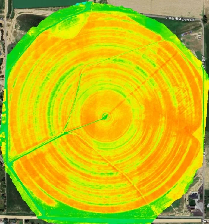
Agricultral Field Mapping
Boost Crop Yields and Reduce Costs with Our Precision Ag Mapping Services
As a farmer, you understand the importance of making data-driven decisions to optimize crop yields, reduce costs, and streamline operations. At AeroApplied, we offer a range of precision Ag Mapping services designed to help you achieve these goals.
Our Services
Multispectral Imaging: Identify crop health issues, detect nutrient deficiencies, and optimize fertilizer applications.
Crop Monitoring: Track growth stages, predict yields, and make informed decisions about harvest planning and resource allocation.
Elevation Mapping: Create detailed topographic maps to optimize drainage, reduce erosion, and improve soil health.
Irrigation Management: Optimize water usage, reduce waste, and improve crop health through data-driven irrigation planning.
Crop Yield Analysis: Get precise yield predictions to inform harvest planning, inventory management, and future planting decisions.
Stand Counts: Accurately assess plant populations and emergence rates to identify areas for improvement.
Variable Rate Application: Use data-driven insights to optimize fertilizer, pesticide, and herbicide applications, reducing waste and improving crop health.
Chemical Estimations: Receive accurate estimates of chemical requirements, enabling you to optimize application rates, reduce waste, and minimize environmental impact.
Benefits for Farmers
By leveraging our precision Ag Mapping services, you can:
Increase crop yields and revenue
Reduce costs associated with fertilizer, water, and pest management
Improve resource allocation and operational efficiency
Enhance decision-making with data-driven insights
Gain a competitive edge in the market
Get Started with AeroApplied
Ready to experience the benefits of precision Ag Mapping for yourself? Contact us today to learn more about our services and how we can help you optimize your farming operations.


